
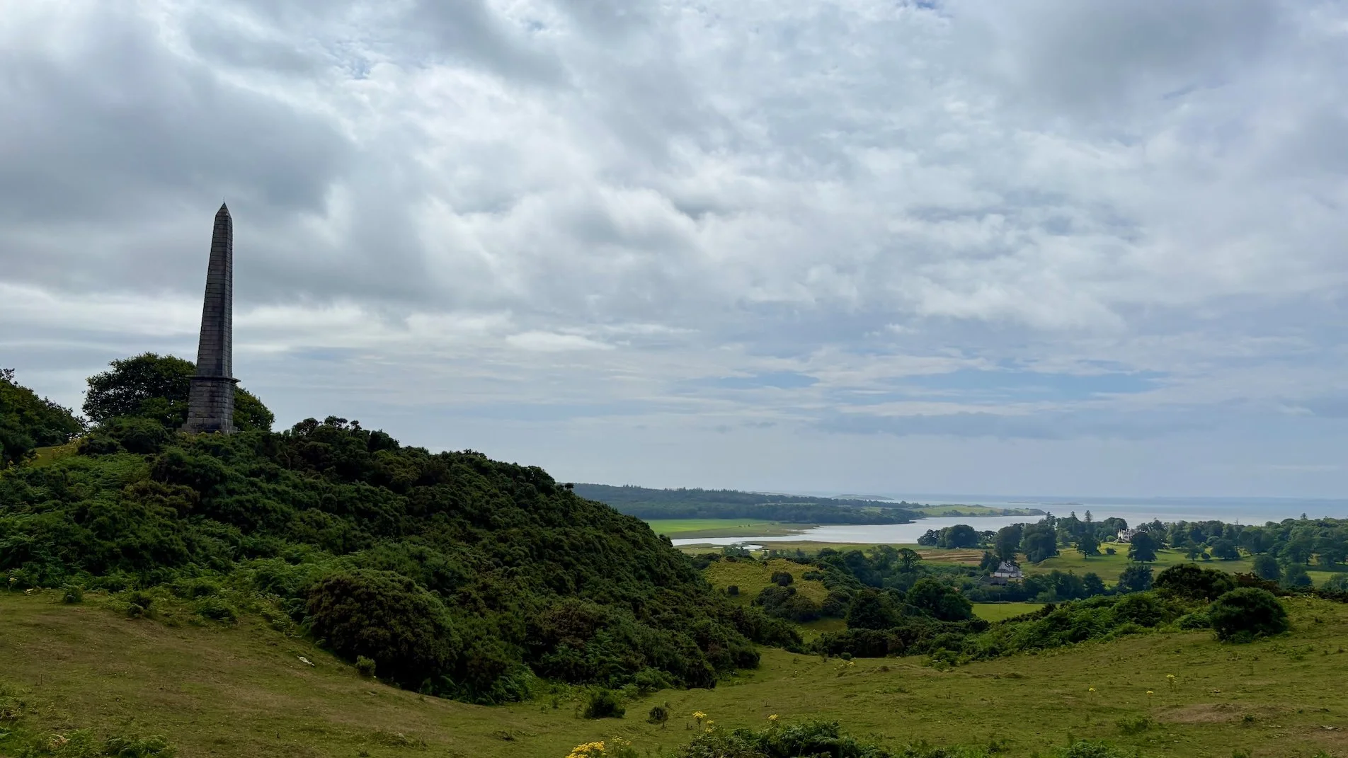
Walking in Galloway
There are few better ways to experience this part of southwest Scotland than on foot. From Wild Galloway, some of the most rewarding walks begin the moment you step outside the cabin.
The cabins sit on the northern edge of a working farm, where gently rolling fields are home to grazing sheep. You’re most welcome to explore these landscapes, but it’s important to do so responsibly. If you’re bringing a dog and there’s any chance they may chase livestock, they must be kept on a lead. Sheep can panic easily and, in some cases, may end up on their backs and unable to stand again. With a bit of care, walking through these fields is a peaceful and memorable part of your stay.
Access and Core Paths
One of the unique aspects of walking in Scotland is the right to responsible access. You’re not confined to footpaths in the traditional sense, but there are still clear expectations around behaviour and land use.
For a straightforward overview, see the Ramblers guide to Scottish access rights.
You’ll also come across designated core paths—a network of routes identified for public use across Dumfries and Galloway. These include a mix of quiet country lanes, forest tracks, and established walking routes, helping you explore the area safely and with confidence.
You can view local routes via the Dumfries and Galloway Council core paths map.
3 Short Walks near Wild Galloway
1. Brighouse Bay
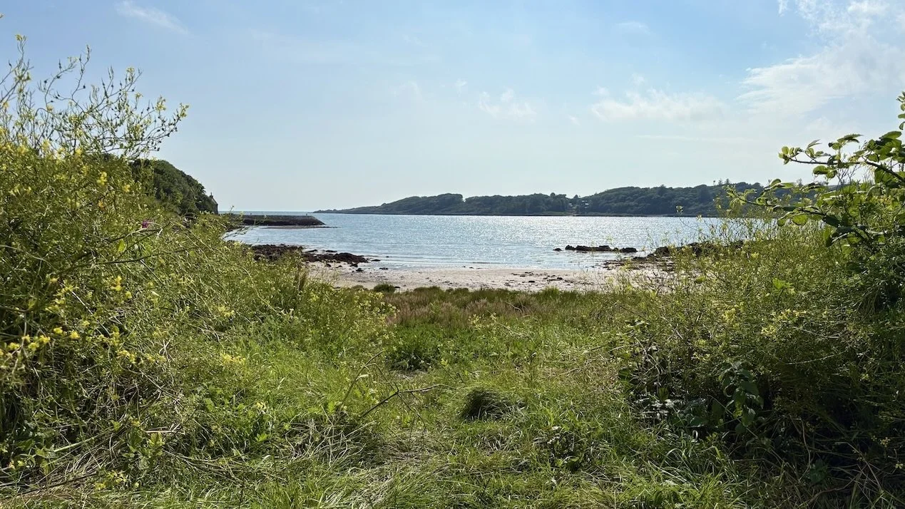
A circular coastal and farmland walk at Brighouse Bay, this is the closest opportunity to experience the sea from the cabins. The route combines open shoreline with quiet inland sections, offering a varied and accessible introduction to the Galloway coast. The start point of this walk is a 10 minute drive from the cabins.
Distance: 5.5km or 7km (route options)
Time: 1–3 hours
Terrain: Hard tracks, grass paths, minor road
Difficulty: Moderate
A good choice if you want a straightforward walk with a strong coastal element. Click here for the full guide to the Brighouse Bay circular walk. For more information on excellent core path routes in Galloway please see the Dumfries and Galloway council guide to core paths.
2. Trusty’s Hill & Rutherford’s Monument
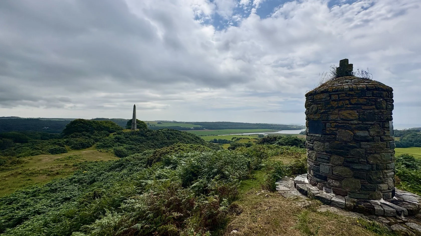
This circular route blends woodland, farmland, and elevated views, with a steady climb towards Rutherford’s Monument. The walk starts and finishes in Gatehouse of Fleet—a particularly attractive village worth a short stop before or after your walk. The start point of this walk is a 25 minute drive from the Wild Galloway cabins.
When guests at Wild Galloway search for this walk online they often find this pdf walking guide to Trusty’s Hill and Rutherford’s Monument. We suggest not using this guide as it can be a little confusing, partly because the north orientation of the map is pointing to the left on the pdf, but mostly because part of the route (the hilly section between Gatehouse and the Old Kirk of Anwoth) is very poorly signposted. Instead we recommend using this walking guide through the Komoot App. The App is free to download and use. The advantage of this App compared to a pdf print out is that you can check your live location relative to the route to make sure that you are still on the correct path. On and around Trusty’s Hill and Rutherford’s Monument there are a few different paths that can take you down the wrong route. However the 5G or 4G signal is very good on the hill so you will not get lost if you cross check your location using the App.
The views from the Monument back down to the Big Water of Fleet are stunning so we do not want our guests to miss out!
Distance: 5.5km
Time: Around 2 hours
Terrain: Pavements, minor roads, earth and grass paths, stiles
Difficulty: Moderate
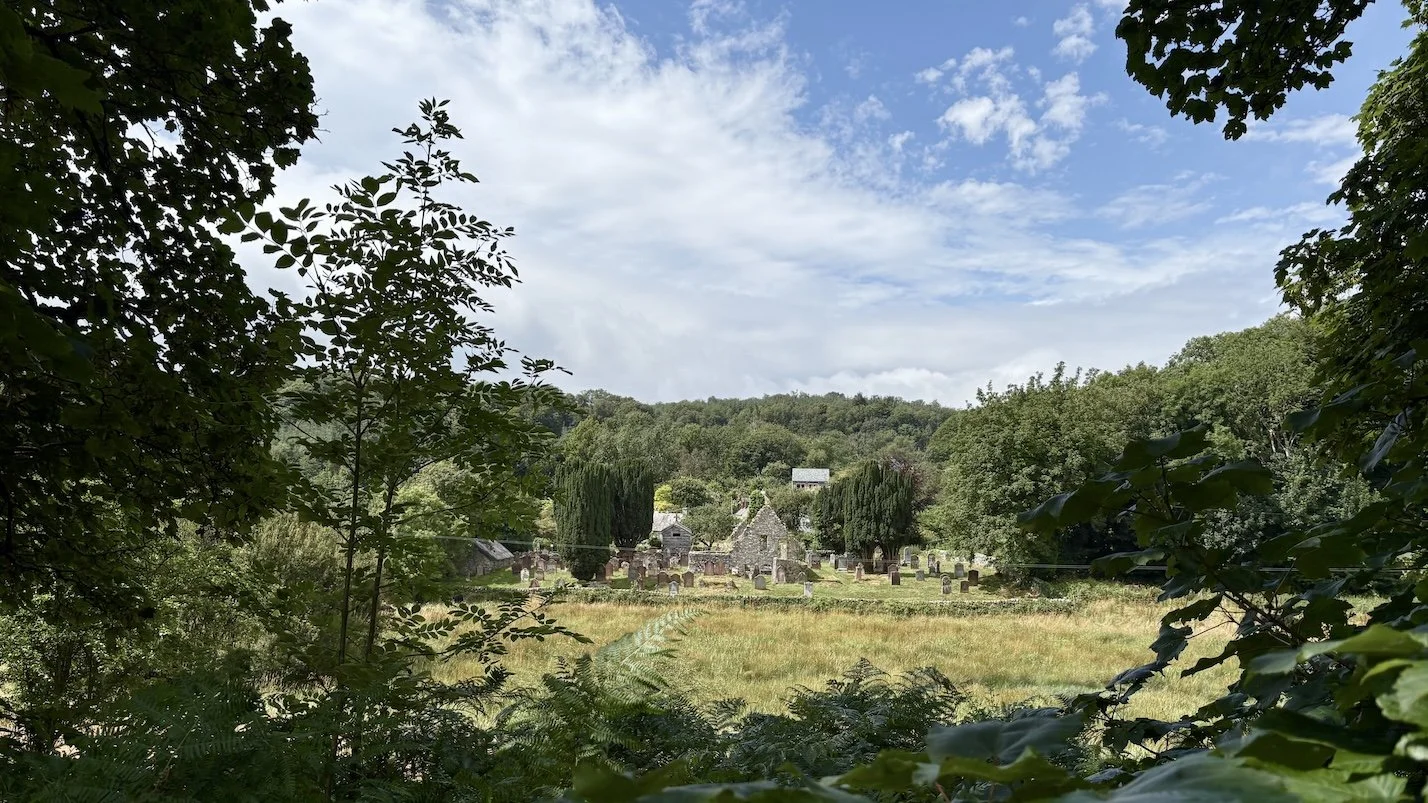
Looking back at Anwoth Kirk before starting the ascent up to Rutherford’s Monument.
3. St Mary’s Isle Coastal Path
Starting from the harbour town of Kirkcudbright, this circular coastal walk offers a combination of shoreline paths, tidal sections, and expansive views across the Solway. One of the highlights is spending time in Kirkcudbright itself—often referred to as an artists’ town, with galleries, independent shops, and a slower pace that rewards a longer stop. You can explore more via the Kirkcudbright Development Trust.The start point of this walk is a 12 minute drive from the cabins.
The walk itself is mostly through woodland, however the route hugs the coast of St Mary’s Isle. There are a number of small unmarked paths that take you the sort distance to the water where you can enjoy skimming some stones onto the mouth of the River Dee, or watch the occasional boat come in at high tide.
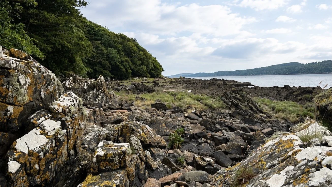
Much of the walk is through woodland, however the coastline is easily accessible at various points.
Distance: 6.6km
Time: Around 2 hours
Terrain: Mixed paths including sand and tidal bays
Difficulty: Moderate
Important: Tide times must be checked in advance, as parts of the route cross tidal areas.
For the full guide to the St Mary’s Isle Coastal path walk please click here.
Frequently Asked Questions
-
Yes. There are numerous informal routes through the surrounding farmland and countryside, allowing you to step straight into the landscape without needing to drive. The cabins are very remote and in open countryside that is available to enjoy immediately as you set foot out of the cabins.
-
The tallest mountain in Galloway is The Merrick which at it’s peak is 843m tall. The Merrick is located in the Galloway Forest Park and from its summit there are wonderful panoramic views of Northern Ireland, the Isle of Man, and the Lake District. Parking is available around Glentrool which offers a good starting point to summit.
-
Yes, but they must be kept under control at all times. In areas with livestock—such as the fields surrounding the cabins which is sheep grazing land—dogs should be on a lead if there is any risk of chasing the animals.
-
Core paths are designated routes across Scotland that provide reliable public access through countryside and local areas. They include a mix of trails, tracks, and minor roads, and are intended to help people explore safely and responsibly. For more information follow this link that explains more about local core paths, and also a number of excellent core path walking options in Galloway close to the cabins.
https://www.dumfriesandgalloway.gov.uk/leisure-sport-culture/parks-outdoor-spaces/core-paths
-
Not always. Scotland operates under responsible access rights, meaning you can often walk beyond formal paths. However, you must respect farmland, livestock, and privacy, and follow the Scottish Outdoor Access Code.
-
Most are accessible throughout the year, though conditions can vary. Coastal walks are particularly affected by tides and weather, while woodland and farmland routes may become wet or muddy after heavy rain. You may have been told that on occasion it rains in Dumfries and Galloway!
-
For most walks, a good pair of walking shoes or boots is sufficient. Waterproofs are recommended, as weather in Galloway can change quickly, even in summer. For coastal routes, it’s also worth checking tide times in advance. Offline maps, sun protection, food and water are sensible add ons, but very much depend on the length of walk, weather, personal fitness etc.
-
Galloway is well suited to walking year-round. Spring and early summer bring longer days and quieter trails, while autumn offers particularly good light and colour. Even in winter, many routes remain accessible on clear, crisp days.